New Feature! Agvance SKY Mapping – Management Areas

Published on
03 Mar 2023
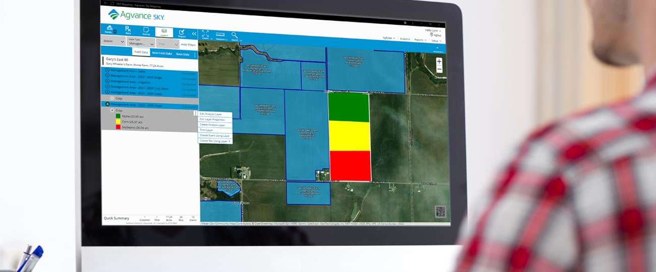
A recent release to Agvance SKY Mapping software brings the use of Crop Zones throughout Agvance SKY applications one step closer. In the current phase, SKY Mapping users can now create Crop Zones in the new Management Area analysis layer.
Lynn Owens, Product Manager with SSI explains the goal, “The Crop Zone templates in Mapping will eventually be available across Agvance SKY. For instance, when working in Agvance SKY Dispatch, or Planning and Blending, users will be able to use Crop Zones created via the Management Area analyses,” says Owens. The addition of Mapping Management Areas as well as other enhancements in the coming months will improve crop planning, planting, and application recommendations by being able to use the Management Areas.
Using Management Areas
To use the new Management Area feature, SKY Mapping users can begin by setting up a template using the Template Manager. Users can also use one of the two new templates offered by SSI for creating Crop Zones and Sampling Zones. After selecting a customer and specific field, the user sets a geometric Management Area as an analysis layer. The polygon-based management area can then contain productivity information.
This new ability to manage field details for specific management areas has been implemented for Planting and Application Rec Maps that are not identified as events in SKY Mapping. In describing more about the future developments, Owens adds “users are creating Management Areas from these manual template options now and the ability to use them in equations as well as creating the Management Areas analyses in batch is coming soon.”
To request a demo or learn more about Agvance SKY Mapping, please complete the form below.

